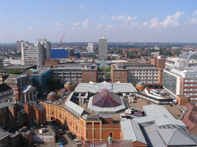
ملف:Broadgate and Precincts - geograph.org.uk - 554599.jpg - ويكيبيديا
Broadgate_and_Precincts_-_geograph.org.uk_-_554599.jpg (640 × 480 بكسل حجم الملف: 96 كيلوبايت، نوع MIME: image/jpeg)
تاريخ الملف
اضغط على زمن/تاريخ لرؤية الملف كما بدا في هذا الزمن.
| زمن/تاريخ | صورة مصغرة | الأبعاد | مستخدم | تعليق | |
|---|---|---|---|---|---|
| حالي | 02:26، 6 فبراير 2011 |  | 640 × 480 (96 كيلوبايت) | GeographBot | == {{int:filedesc}} == {{Information |description={{en|1=Broadgate and Precincts Taken from the tower of the old cathedral church of St. Michael, looking westwards down the line of the Upper and Lower Precinct shopping areas towards Mercia House[1], the t |
استخدام الملف
الصفحة التالية تستخدم هذا الملف:
الاستخدام العالمي للملف
الويكيات الأخرى التالية تستخدم هذا الملف:
- الاستخدام في af.wikipedia.org
- الاستخدام في an.wikipedia.org
- الاستخدام في arz.wikipedia.org
- الاستخدام في ast.wikipedia.org
- الاستخدام في azb.wikipedia.org
- الاستخدام في az.wikipedia.org
- الاستخدام في be-tarask.wikipedia.org
- الاستخدام في be.wikipedia.org
- الاستخدام في ca.wikipedia.org
- الاستخدام في ceb.wikipedia.org
- الاستخدام في cy.wikipedia.org
- الاستخدام في da.wikipedia.org
- الاستخدام في de.wikipedia.org
- الاستخدام في de.wikivoyage.org
- الاستخدام في diq.wikipedia.org
- الاستخدام في el.wikipedia.org
- الاستخدام في en.wikipedia.org
- الاستخدام في en.wikivoyage.org
- الاستخدام في eo.wikipedia.org
- الاستخدام في es.wikipedia.org
- الاستخدام في eu.wikipedia.org
- الاستخدام في frr.wikipedia.org
- الاستخدام في fr.wikipedia.org
- الاستخدام في fr.wikivoyage.org
- الاستخدام في fy.wikipedia.org
- الاستخدام في ga.wikipedia.org
- الاستخدام في gl.wikipedia.org
- الاستخدام في he.wikivoyage.org
- الاستخدام في hy.wikipedia.org
- الاستخدام في ku.wikipedia.org
- الاستخدام في lld.wikipedia.org
- الاستخدام في mdf.wikipedia.org
- الاستخدام في mt.wikipedia.org
- الاستخدام في mzn.wikipedia.org
- الاستخدام في nn.wikipedia.org
- الاستخدام في no.wikipedia.org
- الاستخدام في os.wikipedia.org
- الاستخدام في pl.wikipedia.org
- الاستخدام في pl.wikivoyage.org
- الاستخدام في pnb.wikipedia.org
- الاستخدام في ro.wikipedia.org
- الاستخدام في ru.wikinews.org
- الاستخدام في sco.wikipedia.org
اعرض المزيد من الاستخدام العام لهذا الملف.


 French
 Deutsch
