East Webburn River
This article needs additional citations for verification. (January 2025) |
| East Webburn River | |
|---|---|
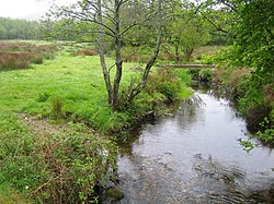
 The East Webburn River passing close to Widecombe | |
| Location | |
| Country | England |
| County | Devon |
| Physical characteristics | |
| Source | Dartmoor moors |
| Mouth | Lizwell Meet |
• location | Oakmoor Wood |
• coordinates | 50°32′56″N 3°49′03″W / 50.5488°N 3.8175°W |
| Length | 5 miles (8 km) |
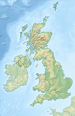
The East Webburn is a 5-mile (8 km) stream in the Dartmoor moors in Devon in south-west England. It rises on the western side of the moors, flowing off the west side of Hameldown ridge.[1] Its source is around 1⁄2 mile (0.80 km) southwest of Grimspound Bronze Age settlement. It flows south past Widecombe-in-the-Moor and joins the West Webburn River at Lizwell Meet in Oakmoor Wood.[2] These combined streams then join the River Dart close to the village of Holne.
References
[edit]- ^ "East Webburn River Water Body". GOV.UK. Department for Environment Food & Rural Affairs.
- ^ Okehampton and North Dartmoor (Landranger Map 191) (D ed.), Ordnance Survey, 2007, ISBN 978-0-319-22864-7


 French
 Deutsch
