
 French
 Deutsch
File:Yamatotakada Map.png
Size of this preview: 456 × 600 pixels. Other resolutions: 182 × 240 pixels | 365 × 480 pixels | 640 × 842 pixels.
Original file (640 × 842 pixels, file size: 44 KB, MIME type: image/png)
| This is a file from the Wikimedia Commons. Information from its description page there is shown below. Commons is a freely licensed media file repository. You can help. |
Summary
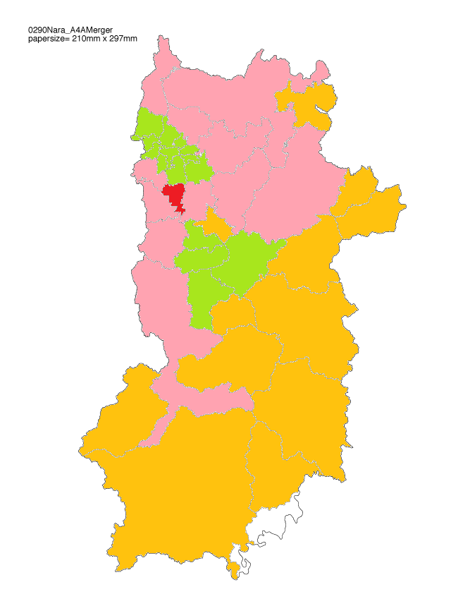
| Description | English: Yamatotakada City Map. ■Yamatotakada City ■Other City ■Town ■Village 日本語: 大和高田市の地図。 ■大和高田市 ■他の市 ■町 ■村 | ||
| Date | (JST) | ||
| Source | Technocco | ||
| Author | Nishi-Kyo | ||
| Permission (Reusing this file) |
|
Licensing
 | Permission is granted to copy, distribute and/or modify this document under the terms of the GNU Free Documentation License, Version 1.2 or any later version published by the Free Software Foundation; with no Invariant Sections, no Front-Cover Texts, and no Back-Cover Texts. A copy of the license is included in the section entitled GNU Free Documentation License. |
| This file is licensed under the Creative Commons Attribution-Share Alike 3.0 Unported license. | ||
| ||
| This licensing tag was added to this file as part of the GFDL licensing update. |
File history
Click on a date/time to view the file as it appeared at that time.
| Date/Time | Thumbnail | Dimensions | User | Comment | |
|---|---|---|---|---|---|
| current | 11:51, 8 June 2009 | | 640 × 842 (44 KB) | Nishi-Kyo | {{Information |Description={{en|1=Yamatotakada City Map. }} {{ja|1=大和高田市の地図。}} |Source=[http://technocco.jp/n_map/0290nara/0290nara_a4am.png Technocco] |Author=Nishi-Kyo |Date=2009-06-08 20:39 (JST) |Permission={{User: |
File usage
The following 2 pages use this file:
Global file usage
The following other wikis use this file:
- Usage on ceb.wikipedia.org