Manganui River (Taranaki)
| Manganui River | |
|---|---|
 View of the Manganui River on Mount Taranaki, near the Manganui Ski Area | |
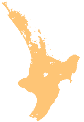
 Route of the Manganui River | |
| Location | |
| Country | New Zealand |
| Physical characteristics | |
| Source | |
| • location | Mount Taranaki |
| • coordinates | 39°18′15″S 174°04′53″E / 39.30403°S 174.08138°E |
| Mouth | |
• location | Waitara River |
• coordinates | 39°04′14″S 174°17′29″E / 39.07057°S 174.29143°E |
| Length | 39 kilometres (24 mi) |
| Basin features | |
| Progression | Manganui River → Waitara River → North Taranaki Bight → Tasman Sea |
| Tributaries | |
| • left | Waipuku Stream, Mangamawhete Stream, Waitepuke Stream, Ngatoro Stream, Mangatiti Stream, Mangapotoa Stream |
| • right | Te Popo Stream, Mangaotea Stream, Mākara Stream |
| Waterfalls | Curtis Falls |
Manganui River is a river that flows through the Taranaki Region of New Zealand's North Island. It initially flows east from its sources on the slopes of Taranaki/Mount Egmont, turning north close to Midhirst and joining with the waters of the Waitara River ten kilometres from the North Taranaki Bight coast.[1]
See also
[edit]References
[edit]- ^ "Place name detail: Manganui River". New Zealand Gazetteer. Land Information New Zealand. Retrieved 21 April 2010.


 French
 Deutsch
