
 French
 Deutsch
پرونده:South Lanarkshire UK location map.svg - ویکیپدیا، دانشنامهٔ آزاد

حجم پیشنمایش PNG این SVG file:۵۸۸ × ۶۰۰ پیکسل کیفیتهای دیگر: ۲۳۵ × ۲۴۰ پیکسل | ۴۷۱ × ۴۸۰ پیکسل | ۷۵۳ × ۷۶۸ پیکسل | ۱٬۰۰۴ × ۱٬۰۲۴ پیکسل | ۲٬۰۰۸ × ۲٬۰۴۸ پیکسل | ۱٬۳۱۹ × ۱٬۳۴۵ پیکسل.
پروندهٔ اصلی (پروندهٔ اسویجی، با ابعاد ۱٬۳۱۹ × ۱٬۳۴۵ پیکسل، اندازهٔ پرونده: ۱٫۳ مگابایت)
این پرونده در ویکیانبار موجود است. محتویات صفحهٔ توصیف آن در زیر نمایش داده میشود. |
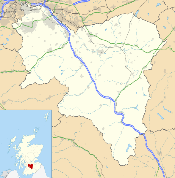
| توضیح | Blank map of South Lanarkshire, UK with the following information shown:
Equirectangular map projection on WGS 84 datum, with N/S stretched 170% Geographic limits:
|
| تاریخ | |
| منبع |
|
| پدیدآور | Nilfanion, created using Ordnance Survey data |
| اجازهنامه (استفادهٔ مجدد از این پرونده) | این پرونده با اجازهنامهٔ کریتیو کامانز Attribution-Share Alike 3.0 سازگار نشده منتشر شده است. انتساب: Contains Ordnance Survey data © Crown copyright and database right
|
| دیگر نسخهها | File:South Lanarkshire UK blank map.svg - Blank map |
تاریخچهٔ پرونده
روی تاریخ/زمانها کلیک کنید تا نسخهٔ مربوط به آن هنگام را ببینید.
| تاریخ/زمان | بندانگشتی | ابعاد | کاربر | توضیح | |
|---|---|---|---|---|---|
| کنونی | ۲۶ سپتامبر ۲۰۱۰، ساعت ۲۰:۲۵ | | ۱٬۳۱۹ در ۱٬۳۴۵ (۱٫۳ مگابایت) | Nilfanion | {{Information |Description=Blank map of South Lanarkshire, UK with the following information shown: *Administrative borders *Coastline, lakes and rivers *Roads and railways *Urban areas Equirectangular map projection on WGS 84 dat |
کاربرد پرونده
صفحههای زیر از این تصویر استفاده میکنند:
کاربرد سراسری پرونده
ویکیهای دیگر زیر از این پرونده استفاده میکنند:
- کاربرد در ar.wikipedia.org
- کاربرد در bg.wikipedia.org
- کاربرد در ceb.wikipedia.org
- کاربرد در cs.wikipedia.org
- کاربرد در de.wikipedia.org
- کاربرد در en.wikipedia.org
- Hamilton, South Lanarkshire
- List of monastic houses in Scotland
- South Lanarkshire
- Rutherglen
- Lanark
- East Kilbride
- Cambuslang
- Biggar, South Lanarkshire
- New Lanark
- Blantyre, South Lanarkshire
- Lesmahagow
- Kirkmuirhill
- Blackwood, South Lanarkshire
- Larkhall
- Bothwell
- Falls of Clyde (waterfalls)
- Bothwell Castle
- Strathaven
- Carluke
- Leadhills
- Uddingston
- Walston, South Lanarkshire
- Abington, South Lanarkshire
- Eastfield, South Lanarkshire
- Fernhill, South Lanarkshire
- Carnwath
- Coulter, South Lanarkshire
- Forth, South Lanarkshire
- Law, South Lanarkshire
- Braidwood, South Lanarkshire
- Craignethan Castle
- Ferniegair
نمایش استفادههای سراسری از این پرونده.