Ratschendorf — Wikipédia
| Ratschendorf | |
 Héraldique | |
 Vue de Ratschendorf | |
| Administration | |
|---|---|
| Pays | |
| Land | |
| District (Bezirk) | Südoststeiermark |
| Code postal | A- |
| Indicatif | 43+ |
| Démographie | |
| Population | 603 hab. |
| Densité | 58 hab./km2 |
| Géographie | |
| Coordonnées | 46° 44′ 40″ nord, 15° 49′ 00″ est |
| Altitude | 240 m |
| Superficie | 1 039 ha = 10,39 km2 |
| Localisation | |
| modifier | |
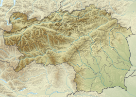
Ratschendorf est une commune autrichienne du district de Südoststeiermark en Styrie.


 French
 Deutsch


